- Order number: 201810137.1
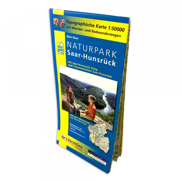
Topographical map with hiking and biking trails in the scale 1:50 000. Map West: with... more
Hiking- and Cycling routes nature park Saar-Hunsrück
Topographical map with hiking and biking trails in the scale 1:50 000.
Map West: with Saar-Hunsrück-Steig and Traumschleifen (exact area on the photo)
Map East: with Saar-Hunsrück-Steig and Traumschleifen, Premium trails (exact area on the photo)
Angaben zur Produktsicherheitsverordnung (GPSR)
Hersteller: GeoCenter Touristik Medienservice GmbH, DE 70794 Filderstadt Kurze Str. 40, www.geocenter.de, vertrieb@geocenter.de
Related links to "Hiking- and Cycling routes nature park Saar-Hunsrück"
Read, write and discuss reviews... more
Customer evaluation for "Hiking- and Cycling routes nature park Saar-Hunsrück"
Write an evaluation
Evaluations will be activated after verification.
NEW
NEW
NEW
NEW
NEW
NEW
NEW
NEW
NEW
NEW
NEW
NEW
NEW
Viewed


